


Sjeyndir
Jump to chapter
Published: 02/06/2021
Reading time: 3 minutes
Sjeyndir is a valley in the northernmost tip of Streymoy Island. It is situated north of the quaint settlement of Tjørnuvík and next to the towering Mount Mýlingur. There is a single cottage in the valley, which is only accessible by foot from Tjørnuvík.
The remote valley is a truly off-the-beaten-path experience. You will find nothing but peace and quiet here. Sheep roam here freely all year round, and the solitary cabin in the valley is the only sign of man-made construction.
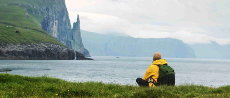
Getting to Sjeyndir is an adventure in itself. Make sure to prepare yourself for hiking in the Faroe Islands before setting off on the hike. The route winds through rugged terrain, offering breathtaking views of the North Atlantic Ocean and the verdant Eiðiskollur Cliff north of Eiði on nearby Eysturoy Island.

Hike from Tjørnuvík to Sjeyndir
Find your way to Tjørnuvík. Upon arriving, park your car in the designated lot at the entrance to the settlement. Be sure to dedicate an entire day to this hiking adventure.
With ample time, you can hike to both the serene valley and the majestic Mount Mýlingur, and take in the dramatic landscapes at a leisurely pace.
There is no designated hiking trail all the way to Sjeyndir. Instead, you will initially follow the established mountain path connecting Tjørnuvík and the village of Saksun. This section is marked with cairns and is regularly used by hikers.
Start at the parking area in Tjørnuvík. Walk through the village, passing the church, and continue to the information board at the end of the road. You will find the beginning of the mountain path to the left of the sign. Follow the cairns uphill toward the Tjørnuvíksskarð mountain pass, crossing several streams and waterfalls along the way.

At the mountain pass, leave the trail toward Saksun and continue north across the open mountain landscape. The remaining 3 km (1.9 miles) take you toward the remote valley. This stretch has no established path or navigation markers, so you must find your own way across the terrain. Expect uneven surfaces, steep sections and muddy ground, particularly after rain.
The round-trip hike covers 12 km (7.46 miles) and takes 5-6 hours. The hike is moderately challenging, with a demanding ascent to Tjørnuvíksskarð followed by a descent into the valley and another climb up on the return journey.
You can extend the hike with a visit to the Mýlingur viewpoint. This detour adds 4 km (2.5 miles) to the hike.

Prepare for the Hike
To navigate the rugged conditions on the hike to Sjeyndir, sturdy hiking boots and layered clothing are essential.
Check out what to pack for the Faroe Islands with the rule of thumb being sunshine, wind, and rain all in the same day – sometimes even within the same hour!
This hike is a true backcountry experience, requiring a good sense of direction and a readiness to embrace the unpredictable weather of the Faroe Islands.


More travel blogs

Popular tours
-
Best 8 Hour Private Mykines Day Tour
Tour startsTórshavnDuration8 hours -

Unforgettable 10 Day Self Drive Tour of Faroe Islands with Top Attractions
Tour startsVágar AirportDuration10 days -

Exceptional Afternoon Boat Cruise From Tórshavn
Tour startsTórshavnDuration4 hours -
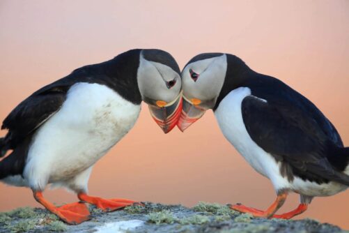
Mykines Shuttle Boat
Tour startsSørvágurDuration4 hours -
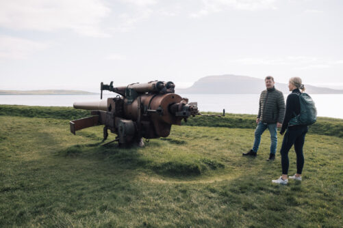
Historic 6 Hour WWll Tour of the Faroe Islands
Tour startsTórshavnDuration6 hours -
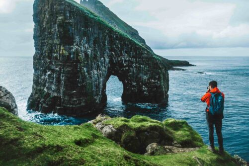
Official Boat Tour & Hiking to Drangarnir Sea Arch
Tour startsSørvágurDuration1.5 hours -
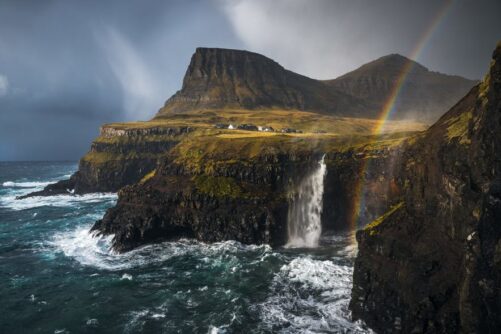
The Pick Me Up Tour | Faroe Islands
Tour startsDuration4 hours -
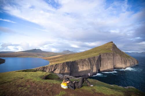
Vágar Island | The Photography Tour
Tour startsTórshavnDuration7 hours -
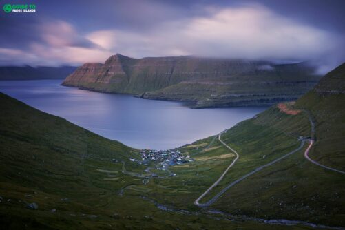
Dazzling 6 Hour Highlights Tour of the Faroe Islands
Tour startsTórshavnDuration6 hours -
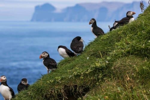
Striking 8 Day Summer Package of the Faroe Islands with Top Attractions
Tour startsVágar AirportDuration8 days -

Private Cruise Shore Excursion in Faroe Islands
Tour startsRunavík TórshavnDuration6 hours -
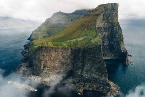
James Bond Sightseeing Tour
Tour startsKlaksvíkDuration8 hours -
New Tour
Suðuroy Island | The Photography Tour
Tour startsTórshavnDuration9 hours -
Unique Puffin Safari Boat Tour
Tour startsSørvágurDuration1.5 hours -

From Tórshavn: Sunset Sailboat Cruise
Tour startsTórshavnDuration4 hours


Other interesting Attractions


