


Streymoy Island
Jump to chapter
Published: 03/06/2021
Reading time: 4 minutes
Streymoy is the largest of the 18 islands that make up the Faroe Islands. It is situated in the middle of the archipelago and is home to the capital, Tórshavn.
Streymoy Island makes up 24% of the total land area and 50% of the entire population of the Faroe Islands. All villages on the island are linked together with high-quality paved roads.
Streymoy Island is connected by roads to three neighbouring islands. Vágar Island is linked to Streymoy Island with a 5-kilometre (3.1-mile) sub-sea tunnel. Sandoy Island is linked to Streymoy Island through the 10.8-kilometre (6.7-mile) long subsea tunnel, Sandoyartunnilin. Eysturoy Island is connected to Streymoy Island by a 250-metre (0.15-mile) long bridge, as well as by the underwater tunnel Eysturoyartunnilin. The tunnel is 11.2 kilometres (6.9 miles) long and has the world’s first underwater roundabout.
You will find some of the most iconic sights in the Faroes on Streymoy Island.
These include the remote villages of Saksun and Tjørnuvík, the historic village of Kirkjubøur, the magnificent Vestmanna Sea Cliffs, and the tallest waterfall in the archipelago, Fossá Waterfall.

Mountain views on Streymoy Island
The island’s highest peak is Koppenni at 789 m (2.588 ft) above sea level. This mountain is remote and requires a difficult hike to reach.
An easy to reach vantage point is Mount Sornfelli, which rises 749 m (2.457 ft) above sea level. It is possible to drive almost to the top, along a narrow winding road to a viewing platform 630 m (2.067 ft) up the mountain. This is the highest public road in the archipelago. From here, you have spectacular views across Streymoy Island and of the neighbouring Vágar Island. Mount Sornfelli is a perfect stop on any Faroe Islands road trip.

The Vestmanna Sea Cliffs
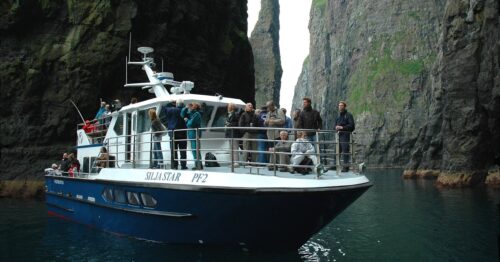
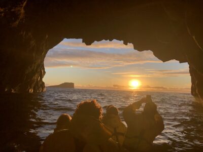
Among the best known nature attractions on Streymoy Island is the Vestmanna Sea Cliffs. The only way to experience the sea cliffs is in a boat.
Tours to the amazing cliffs on the island’s west coast are made from April to October. All boats to the cliffs depart from the harbour in the village of Vestmanna.
Click here to book your Vestmanna Sea Cliffs Boat Tour.

Streymoy Island is Home to 22 Villages
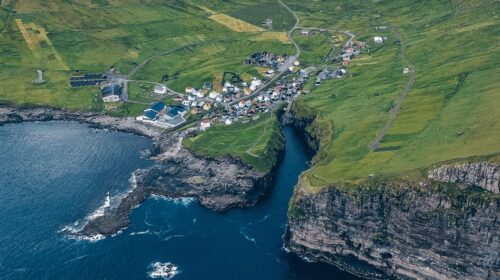
There are a total of 22 villages on Streymoy Island. From very small hamlets such as Norðradalur and Syðradalur with only a couple of families to the most populated urban area in the archipelago, Tórshavn.
Some villages are very popular, while others hardly get any visitors. You rarely see tourists stopping by the settlement of Leynar, which is home to a beautiful black sand beach. Another village that gets very little attention is Streymnes. Go for a stroll between the houses there either on your way to or from the popular village of Saksun.

Haldórsvík is another less-visited village. The reason why most people bypass this settlement along the Sundini Strait, is because two major attractions lie on each side of it.
Just before entering the village, you will see the mighty Fossá Waterfall, and shortly after passing the village, you will reach the secluded yet very popular village of Tjørnuvík. Nevertheless, stopping in Haldórsvík will let you enjoy a peaceful moment in uncrowded settings.

The grass-roofed village of Kirkjubøur
Kirkjubøur is the most important historic settlement in the Faroe Islands and a beautiful spot to visit. It is located in the southern part of Streymoy Island, about 15 minutes drive from Tórshavn. Most houses in the settlement are black with red windows and the roofs are covered with grass.
Besides the many turf-roofed houses, you can see the ruins of the St. Magnus Cathedral as well as the oldest church in the Faroe Islands. For those interested in Faroese history, make sure to prioritise Kirkjubøur when on holiday in the Faroe Islands.

Streymoy Island on a Map
You can see Streymoy Island on the map of the Faroe Islands located in the middle of the archipelago.

More travel blogs

Popular tours
-

Eysturoy Island | The Photography Tour
Tour startsTórshavnDuration7 hours -
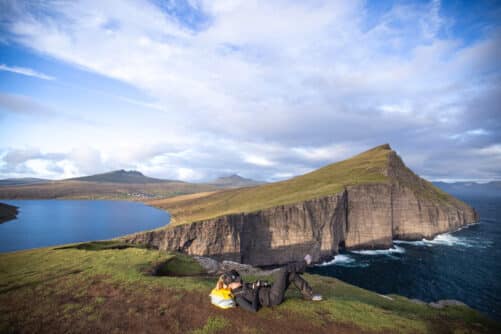
Vágar Island | The Photography Tour
Tour startsTórshavnDuration7 hours -

Stunning Hvannhagi Hike on Suðuroy Island
Tour startsTórshavnDuration12 hours -

Private Cruise Shore Excursion in Faroe Islands
Tour startsRunavík TórshavnDuration6 hours -
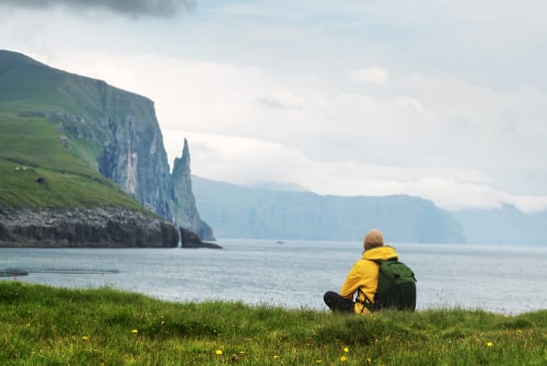
Wonderful 6 Hour Tour of Vágar Island
Tour startsTórshavnDuration6 hours -
Immersive 6 Hour Vestmanna Sea Cliffs & Viking Village Tour
Tour startsTórshavnDuration6 hours -
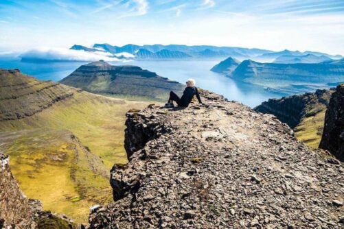
Panoramic 6 Hour Tour to Mount Slættaratindur
Tour startsTórshavnDuration6 hours -
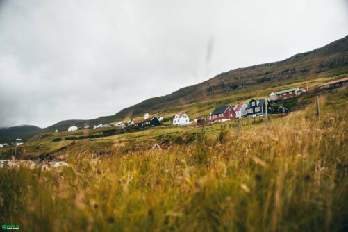
Half-Day Tour on Suðuroy Island
Tour startsSuðuroy IslandDuration4 hours -
James Bond Highlights
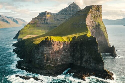
Spectacular 7 Hour Kallur Lighthouse Day Tour
Tour startsTórshavnDuration7 hours -
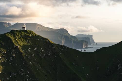
Private 7 Hour Kallur Lighthouse Experience
Tour startsTórshavnDuration7 hours -
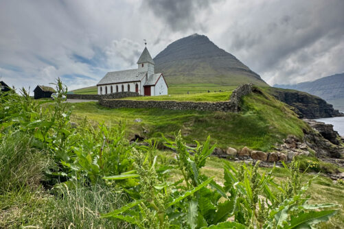
Northern Islands | The Photography Tour
Tour startsTórshavnDuration7 hours -
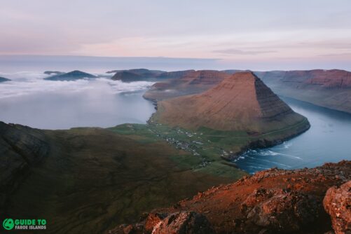
Classic 4 Hour Northern Isles Tour
Tour startsKlaksvíkDuration4 hours -
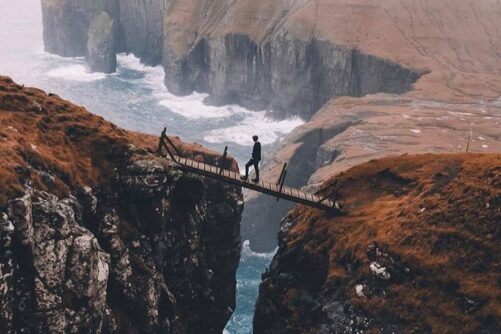
Thrilling 4 Hour Ásmundarstakkur & Rituskor Tour
Tour startsHvalbaDuration4 hours -
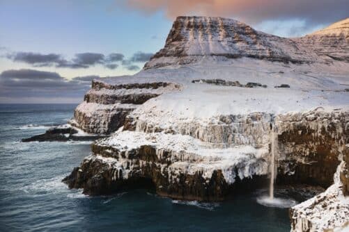
5 Day Winter Package | Tour the Faroe Islands
Tour startsVágar AirportDuration5 days -
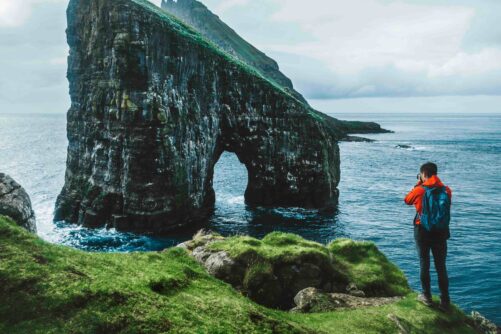
Official Boat Tour & Hiking to Drangarnir Sea Arch
Tour startsSørvágurDuration1.5 hours


Other interesting Attractions


