

Mount Villingadalsfjall
Jump to chapter
Published: 03/06/2021
Reading time: 3 minutes
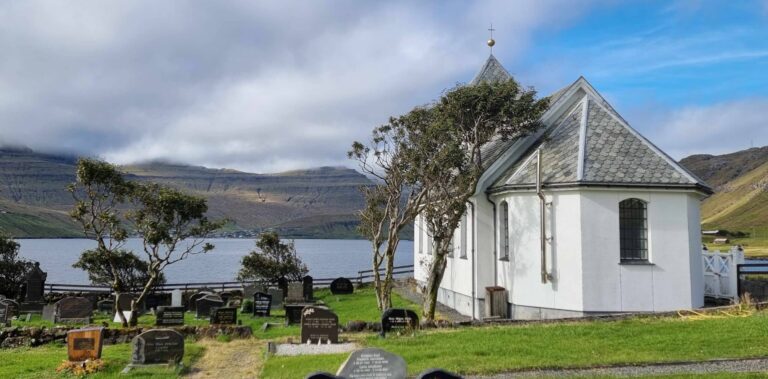
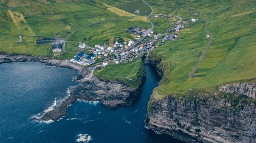
Mount Villingadalsfjall is the third highest summit in the Faroe Islands and peaks at 841 meters (2759 feet) above sea level. You can hike all the way to the towering top from the nearest village, Viðareiði on Viðoy Island.
The route to the summit of Mount Villingadalsfjall is marked with blue posts. The hike is moderate in difficulty as no technical climbing is required. But while the hike itself is moderate, what might challenge some hikers is the steepness of the entire hike.
From the moment you set off from the trailhead in Viðareiði and until you reach the summit, the entire hike is a fairly steep elevation. You will basically hike up a steep hillside. The mountain comes with some rugged terrain as basalt stones make up most of the surface. First the terrain is mostly grass while it turns more stony as you ascend the mountain.
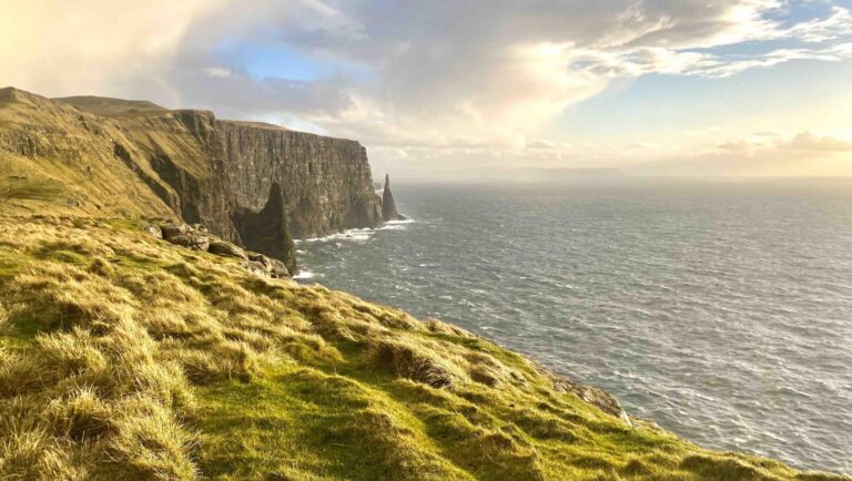
From the summit of Mount Villingadalsfjall, there is only 1,5 km (1 mile) to Cape Enniberg, the tallest vertical sea cliff in the world at 754 metres (2474 feet). However, the terrain in this area is dangerous to hike without a local guide. Click here to book your guided tour to Enniberg!
Hiking fee: In order to climb Mount Villingadalsfjall, there is a 200 DKK fee per person. The money can be placed in the mailbox by the gate leading to the trail. This price does not include a guide.

When to Hike Mount Villingadalsfjall
Good weather is crucial for those planning to get to the summit. The first thing you need to know is that the hike is best done between March and November. The winter season from December to February comes with chances of snow which makes the surface icy and very slippery.
Visiting the Faroe Islands between March and November is one thing, another thing is the unpredictable weather in the Faroe Islands, especially in the winter months. With rapid changes possible within hours, make sure to monitor the Viðoy Island weather forecast days before and on the day of your planned hike.
Temperatures remain mild, ranging between 5-12°C (41-54°F) more or less throughout the months between March and November. The chilly temperature is often combined with wind. With more than 250 days of rain showers annually, hike in layers, sturdy boots, and a wind- and waterproof jacket and trousers. Check out How to Hike in the Faroe Islands for more details.

Views from the Summit
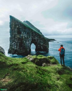
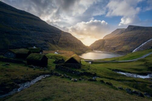
From the summit of Mount Villlingadalsfjall, a breathtaking panorama of the Faroe Islands unfolds. The volcanic landscape is outstanding. When weather allows for good visibility, you will see green slopes, steep cliff faces, and several islands shooting out from the ocean from a vast 360-degree vista.
Fog is often created in the mountains and might cover the peak or just drift across briefly. Wait for a moment as the conditions tend to change minute by minute. As long as you prepare for sudden weather shifts and and are an experienced hiker, you will have the time of your life on Villingadalsfjall. Enjoy the extraordinary views from the highest mountain on Viðoy Island.

More travel blogs


Popular tours
-
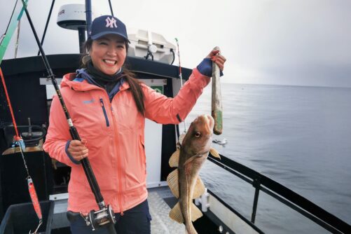
Refreshing 3 Hour Boat Tour including Fishing
Tour startsKaldbaksfjørður FjordDuration3 hours -
James Bond Highlights
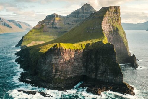
Spectacular 7 Hour Kallur Lighthouse Day Tour
Tour startsTórshavnDuration7 hours -
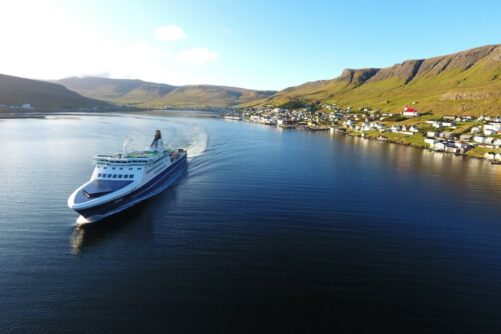
Spectacular 12 Hour Suðuroy Island Day Tour
Tour startsTórshavnDuration12 hours -
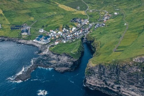
Outstanding 7 Hour “See It All” Faroe Islands Tour
Tour startsTórshavnDuration7 hours -

From Tórshavn: Sunset Sailboat Cruise
Tour startsTórshavnDuration4 hours -

The 5 Day Photography Tour | Faroe Islands Highlights
Tour startsTórshavnDuration5 days -
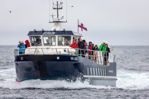
Puffin Boat to Mykines Island
Tour startsSørvágurDuration45 minutes -
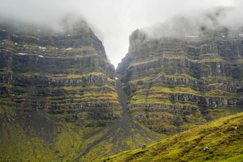
8-hour Ghost Town Tour in the Northern Isles
Tour startsKlaksvíkDuration8 hours -
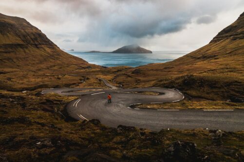
Norðradalsskarð, Sornfelli & Kirkjubøur | Private VIP Tour
Tour startsTórshavnDuration2 hours -
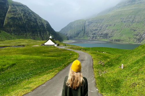
Streymoy Island | The Photography Tour
Tour startsTórshavnDuration7 hours -
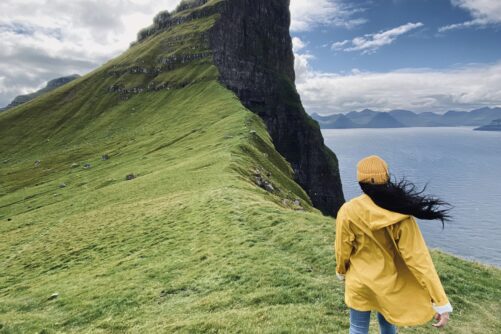
Kalsoy Island | The Photography Tour
Tour startsTórshavnDuration7 hours -

Direct 45 Minutes Taxi Transfer from Tórshavn to Vágar Airport
Tour startsTórshavnDuration45 minutes -
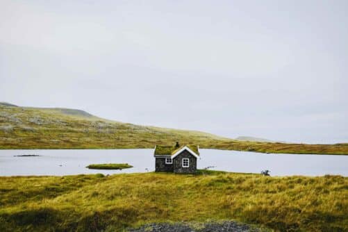
Kirkjubøur – Sandoy Island Day Tour
Tour startsTórshavnDuration7 hours -
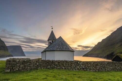
Vibrant 4 Hour Viðoy Island Tour
Tour startsTórshavnDuration4 hours -
Private Escorted Tour of main Faroe Islands
Tour startsStreymoy IslandDuration6 hours


Other interesting Attractions