

Cape Enniberg
Published: 02/06/2021
Reading time: 2 minutes
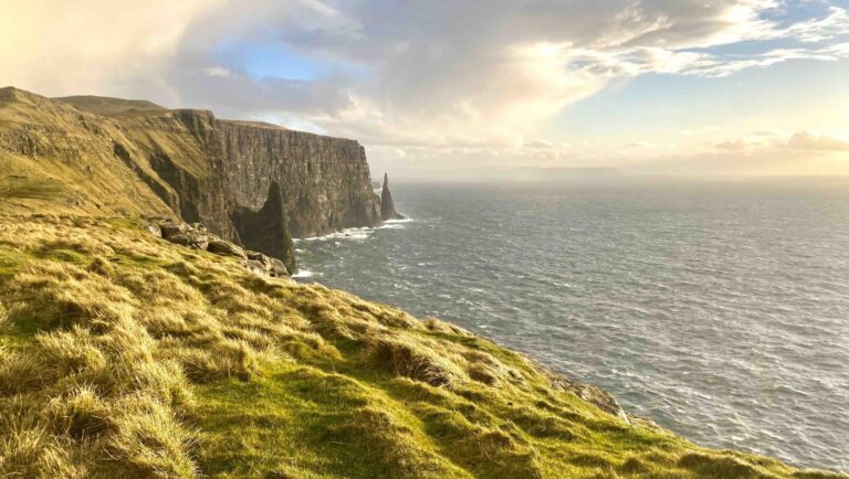
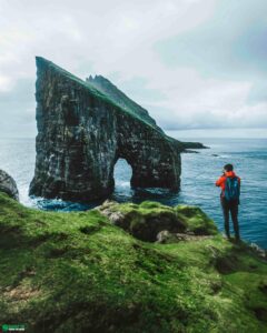
Cape Enniberg is a 754 metre (2474 feet) vertical sea cliff making it the world’s tallest vertical sea cliff. Enniberg is situated on Viðoy Island in the wild Faroe Islands.
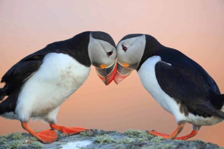
This soaring cliff is the northernmost point in the archipelago. The sheer basalt wall is a well known landmark throughout the history of the Faroe Islands. There is an immense bird life at Cape Enniberg.
The place is best explored during the long summer nights under the midnight sun. Make a trip happen to this attraction between April and October in order to avoid any snow or icy terrain.
The height of the cliff makes it unaccessible during winter in the Faroe Islands. Sheep roam the steep hillsides all your round but other than that there will be no moving elements here in depth of winter.
Getting to Cape Enniberg

You can experience Enniberg from above by hiking from the village Viðareiði or from below on one of the boat trips that pass by the famous sea cliff. Hiking to Cape Enniberg is fairly demanding. The views from the cliff’s top are worth the effort for those fit for the hike. Nevertheless, hiking to top of the cliffs is only recommended for those with very good hiking skills and experiences in uneven terrain. Hiking in the Faroe Islands can be a strenuous experience and getting to this attraction is within that category.
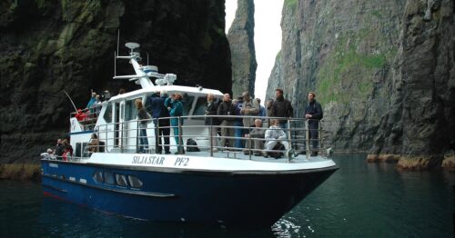
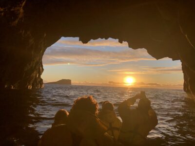
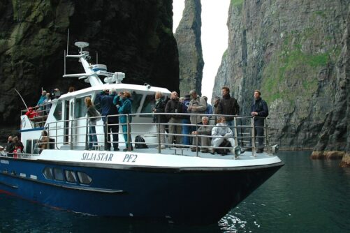
This boat tour to Cape Enniberg departs from Klaksvík on nearby Borðoy Island, which is the main town in the northern part of the Faroe Islands. Boat tours will let you experience the immense volcanic wall from sea level.

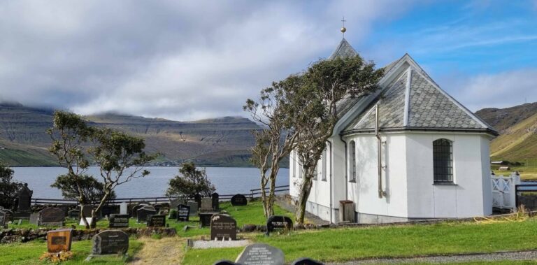
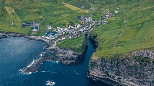
The villagers in the settlement Viðareiði have Cape Enniberg in their backyard. However, they very seldom take the steep hike to the sheer cliff itself.
For those wanting to be close to the cliff, visiting Viðareiði is a great alternative. It will keep you on flat ground at all times while still feeling the power of nature just around the corner. Being an ocean nation, one of the flag ship trawlers is Enniberg. The trawler sails close to the vertical sea cliff on its way to the fishing grounds.

More travel blogs


Popular tours
-

Refreshing 6 Day Summer Package of the Faroe Islands
Tour startsTórshavnDuration6 days -
Thrilling 7 Hour TROM Sightseeing Tour
Tour startsTórshavnDuration7 hours -
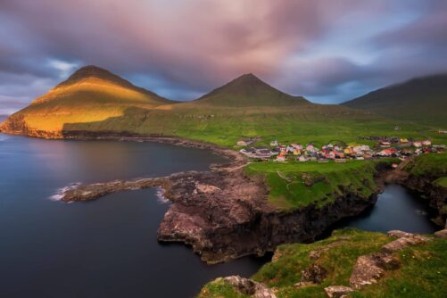
Best 7 Hour “All You Can See” Tour
Tour startsTórshavnDuration7 hours -
The Classic Faroe Islands Day Tour
Tour startsTórshavnDuration8 hours -
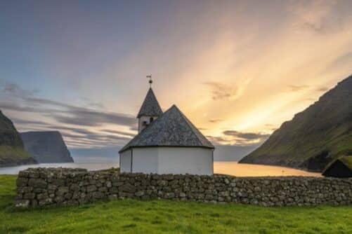
Vibrant 4 Hour Viðoy Island Tour
Tour startsTórshavnDuration4 hours -
Private Escorted Tour of main Faroe Islands
Tour startsStreymoy IslandDuration6 hours -

Direct 45 Minutes Taxi Transfer from Tórshavn to Vágar Airport
Tour startsTórshavnDuration45 minutes -
Spectacular 7 Hour Eysturoy Island Day Tour
Tour startsTórshavnDuration7 hours -
Original 1.5 Hour Vestmanna Sea Cliffs Boat Trip
Tour startsVestmannaDuration1.5 hours -

Quick 45 Minutes Airport Transfer from Vagar Airport to Tórshavn
Tour startsVágar AirportDuration45 minutes -
Puffin Boat to Mykines Island
Tour startsSørvágurDuration45 minutes -

Engaging 2.5 Hour Tórshavn in a Seashell Tour
Tour startsTórshavnDuration2.5 hours -
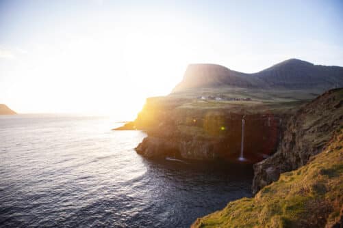
The 4 Day Photography Tour | Faroe Islands Highlights
Tour startsTórshavnDuration4 days -
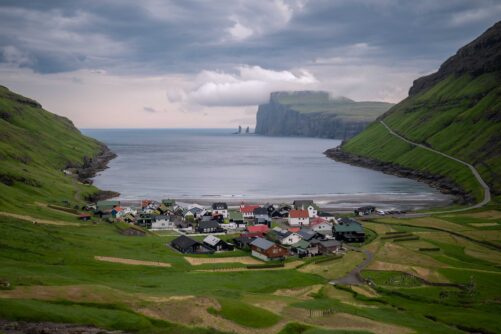
Top-rated Faroe Islands Highlights Tour
Tour startsTórshavnDuration6 hours -

Eysturoy Island | The Photography Tour
Tour startsTórshavnDuration7 hours


Frequently asked questions
Where is Cape Enniberg?
Cape Enniberg is located on Viðoy Island and is the northernmost point in the Faroe Islands?
How high is Cape Enniberg?
Cape Enniberg peaks at 754 metres (2474 feet) above sea level.
Is Cape Enniberg one of the highest sea cliffs in the world?
Cape Enniberg is the highest vertical sea cliff in the world.
How do I get to Cape Enniberg from Tórshavn?
You will drive through two subsea tunnels, first from Streymoy Island to Eysturoy Island and from there to Borðoy Island. You will then continue north through a couple of mountain tunnels and cross a causeway to Viðoy Island before reaching the village of Viðareiði. From Viðareiði, you will hike for around 3 hours one-way to reach Cape Enniberg.
Can you hike to Cape Enniberg?
Yes, you can hike to Cape Enniberg. It is a difficult hike with no proper constructed path.
Do I need a guide to hike to Cape Enniberg?
It is recommended to explore Cape Enniberg with a local guide.
Can I see Cape Enniberg from a boat?
Yes, Cape Enniberg is visible from a boat.
Is Cape Enniberg the northernmost point of the Faroe Islands?
Yes, Cape Enniberg is the most northerly point in the Faroe Islands.
When is the best time to visit Cape Enniberg?
Cape Enniberg is safe to hike to as long as there is no snow. You can expect snow between November and March.
Is it safe to hike to Cape Enniberg in bad weather?
Stay away from Cape Enniberg in heavy wind and when it is foggy with no visibility. Also, do not try to reach the sea cliff in icy conditions in winter.
Other interesting Attractions