Mount Mýlingur
Jump to chapter
Published: 02/06/2021
Reading time: 4 minutes
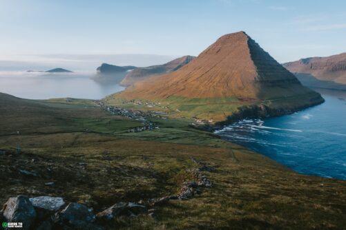
Mount Mýlingur is situated on the most northernly part of Streymoy Island, which is the largest of the 18 mountainous Faroe Islands. Getting to the attraction requires a strenuous and long out-and-back hike. Mount Mýlingur elevates 564 m / 1850 ft above ocean level.
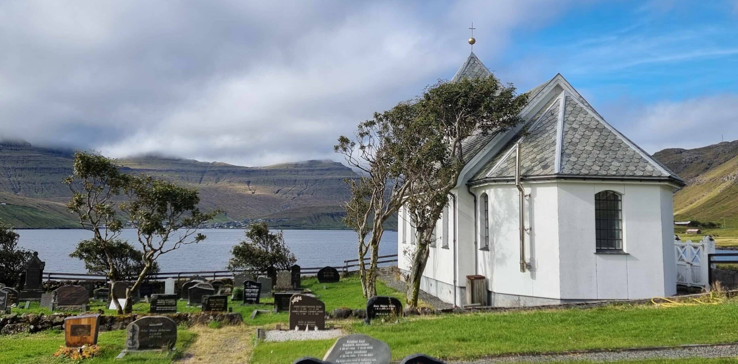
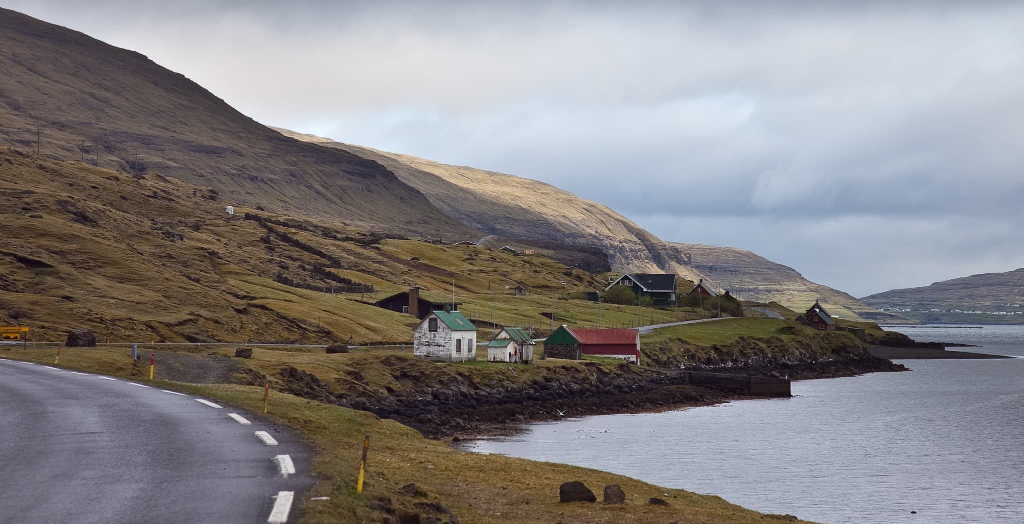
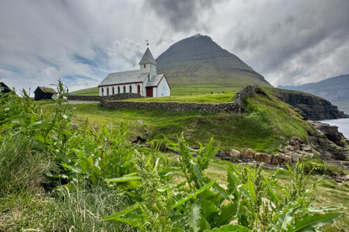
To reach Mýlingur, you will set off from the secluded settlement Tjørnuvík. Park your car at the parking lot found just upon arrival in Tjørnuvík. Make sure to set aside the entire day to get the best experience.
Having the whole day will let you reach the peaky Mount Mýlingur and the sheer cliff at your own pace without being in a hurry. With a long hike ahead, make sure to bring snacks for the day.

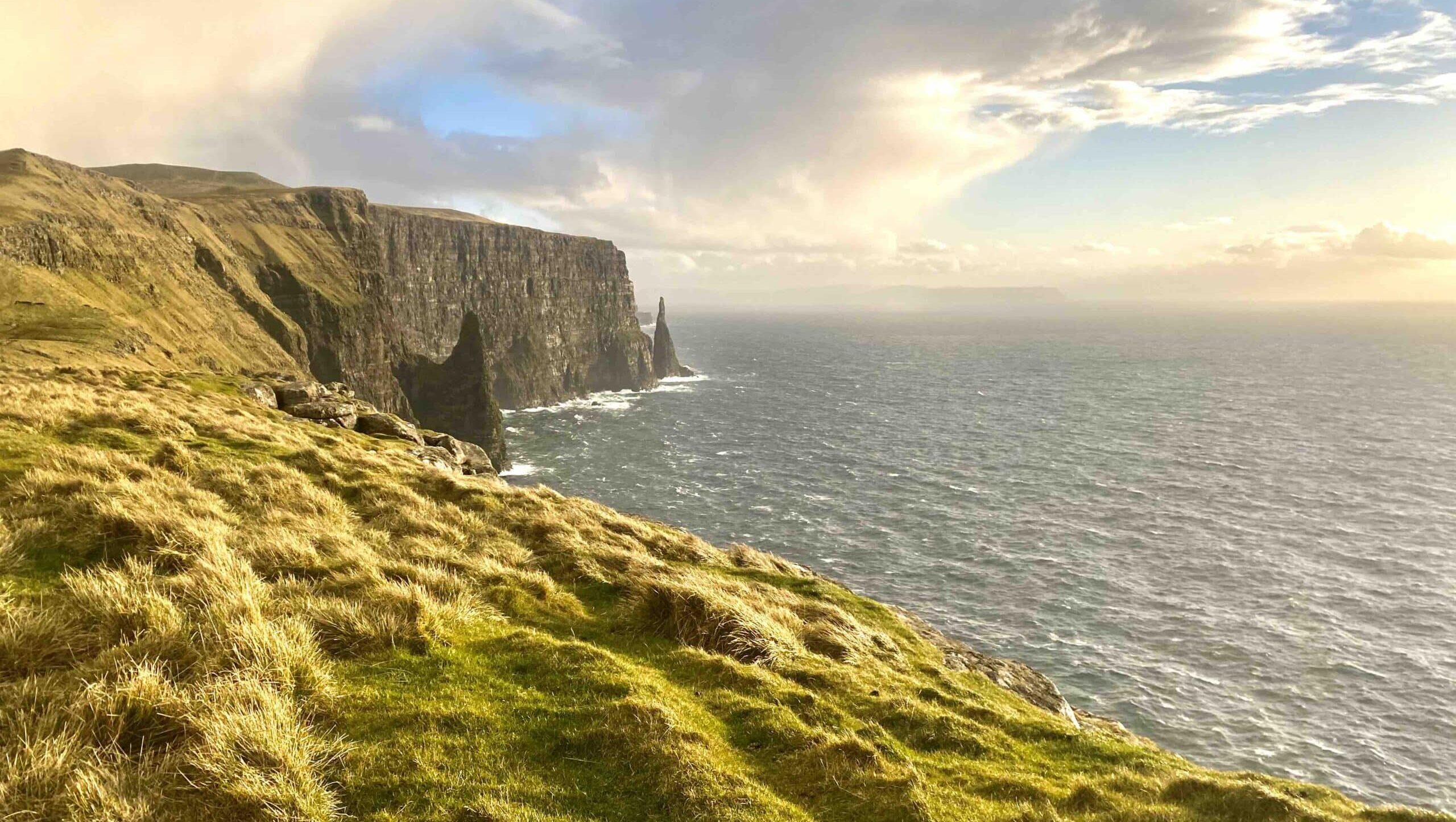
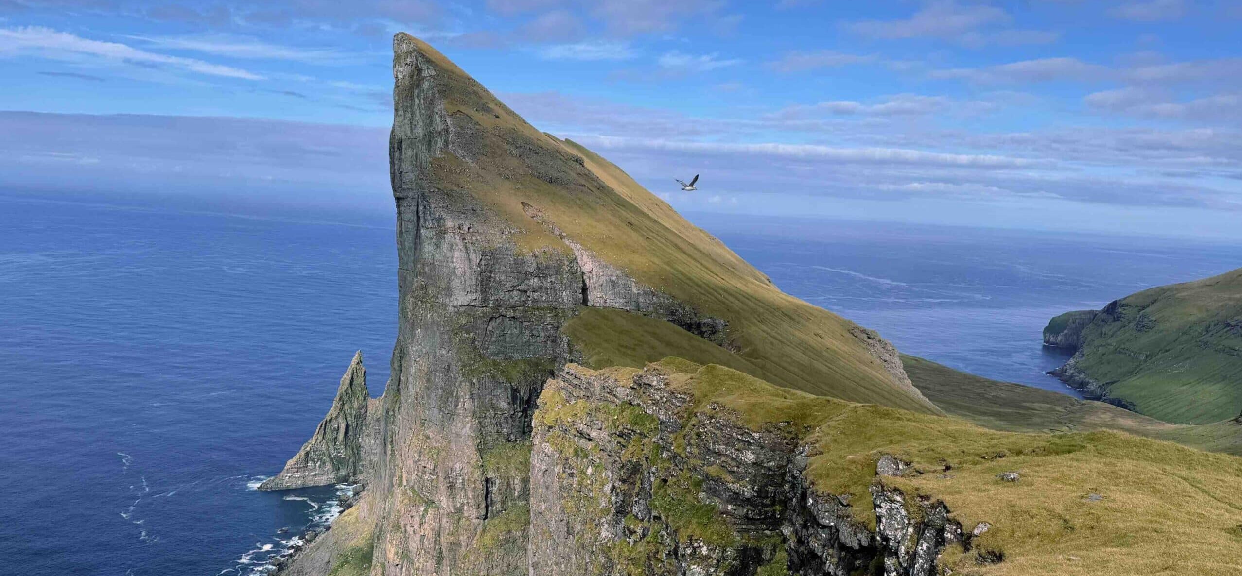
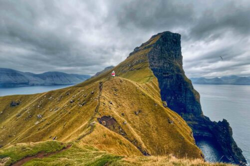
The rugged peak offers one of the most exhilarating hiking experiences in the North Atlantic island group. Renowned for its jagged, spiky shape, Mount Mýlingur is a true adventure for travellers seeking stunning panoramic views amid the wilderness in the Faroe Islands.
Due to its remote location, expect to see few if any other travellers at the attraction. For those who want to get a sense of the landscape, you could try hiking Eiðiskollur Cliff on one of the previous days. The hike is much shorter but will give you an idea of what reaching Mount Mýlingur is like. On clear days, you even see the spiky mountain north of Tjørnuvík when at Eiðiskollur Cliff on neighbouring Eysturoy Island.
Exploring Mount Mýlingur

The hike up Mount Mýlingur is not for the faint-hearted. There is no official trail all the way from Tjørnuvík to the attraction.
Once you start out, follow the well marked path from Tjørnuvík towards the settlement Saksun. At one point, you will get to the top above Tjørnuvík and here you will turn west away from the official trail and into an epic valley called Sjeyndir. This part of the hike is the unofficial trail with no cairns or signs along the route.

You will basically venture into untouched wilderness far away from the crowds. The terrain is steep with uneven paths and occasional muddy patches, particularly after rain.
Proper hiking boots are a must, and layering is key as the weather can change rapidly. Take a look at what to pack for travel in the Faroe Islands and be well prepared for your adventure.
The Mountain Vantage Point

Reaching the views of Mount Mýlingur takes about 3-4 hours, depending on pace, and it is advisable to start early to make the most of daylight. At the top, hikers are greeted with a 360-degree view of the majestic landscape.
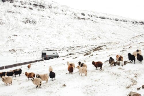
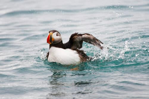
Enjoy the stunning cliffs plunging into the sea and the emerald-green valley. There is nothing but seabirds riding the coastal winds and occasional sheep. Expect to see few if any other travellers.
Keep a safe distance from the very edge where the vantage point is located. There is a 400 metres (1312 feet) sheer drop from the cliff’s edge.
Safety Tips

Always check the weather forecast before setting out, as weather conditions in the Faroe Islands are unpredictable. Dense fog can appear out of nowhere. There are several ridges that you ascend on the way up to the place and it is really important to be careful if it gets foggy on the way down.
Due to the challenging nature of the hike, it is best suited for seasoned hikers or those with a good fitness level. Respect the natural environment by staying on the marked path until you are well above Tjørnuvík.
More travel blogs

Popular tours
-
Majestic 7 Hour Tour to the Northern Islands
Tour startsTórshavnDuration7 hours -
Northern Islands | The Photography Tour
Tour startsTórshavnDuration7 hours -
Immersive 6 Hour Vestmanna Sea Cliffs & Viking Village Tour
Tour startsTórshavnDuration6 hours -
Unique Puffin Safari Boat Tour
Tour startsSørvágurDuration1.5 hours -

3 Day Summer Self-Drive | Sea Cliffs & Uncrowded Villages
Tour startsVágar AirportDuration3 days -
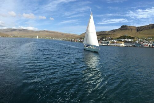
Private 4 Hour Sailboat Tour to Nólsoy Island
Tour startsTórshavnDuration4 hours -

Thrilling 4 Hour Ásmundarstakkur & Rituskor Tour
Tour startsHvalbaDuration4 hours -

Exceptional Afternoon Boat Cruise From Tórshavn
Tour startsTórshavnDuration4 hours -
Essential 7 Day Faroe Islands Self-Drive Package
Tour startsVágar AirportDuration7 days -
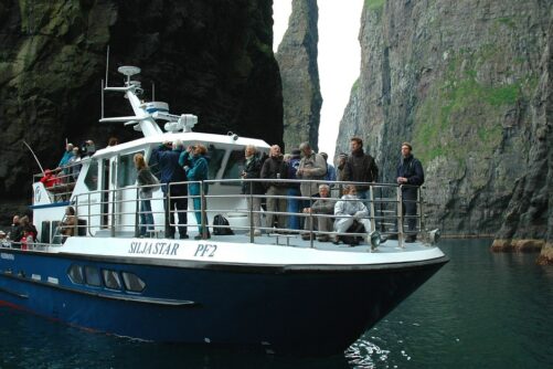
Original 1.5 Hour Vestmanna Sea Cliffs Boat Trip
Tour startsVestmannaDuration1.5 hours -
Breathtaking 6 Day Faroe Islands Summer Package
Tour startsTórshavnDuration6 days -
Tranquil 4 Day Winter Trip of the Main Faroe Islands
Tour startsVágar AirportDuration4 days -
Captivating 2 Hour Nólsoy Island Sightseeing Boat Tour
Tour startsTórshavnDuration2 hours -

Private Airport Transfer to/from Vagar Airport
Tour startsDuration0.5 hour -
4 Day Winter Package | Best of Faroe Islands
Tour startsVágar AirportDuration4 days


Other interesting Attractions