Slættaratindur
Jump to chapter
Published: 03/06/2021
Reading time: 4 minutes
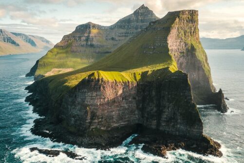
Slættaratindur is the highest mountain in the Faroe Islands located on Eysturoy Island. It translates directly into the ‘Plain Mountain Peak’ due to the summit’s flat surface. The mountain elevates 880 meters (2887 feet) above sea level.
Slættur means flat and indeed the summit is smooth enough for Faroese dancing and for photo opportunities in all directions. The flat area on the very top of Slættaratindur is roughly 1000 square meters (10,764 square feet).

Slættaratindur is accessible almost throughout the year. The hike to Slættaratindur is popular among locals and travellers alike.
You will spot so many perfect moments on the roof of the Faroe Islands. The summit itself is totally flat and you can easily spend an hour or so walking around the summit just to soak in the different views be it to the West, North, East, and South. It is well worth the time and effort to climb up to the summit.
How to reach Slættaratindur

Making it to the highest point in the Faroe Islands is not easy but it is most certainly worth every inch of the struggle. You will see all kinds of small flowers on the beautiful hills along the route.
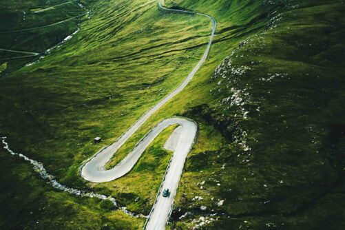
The easiest route to the top is from Eiðisskarð mountain pass west of the settlement Funningur and east of Eiði. Both villages sit at the foot of the mountain. Park your car at Eiðisskarð. Parking here will cut the climb to the top by half. You will hike 500 meters (1640 feet) uphill. The hike will take 2 hours or less.
When to hike the Highest Mountain

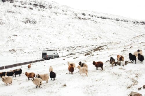
You should watch out for icy surfaces during winter from November to April. The path is not visible in snow so it is not recommendable to venture up the mountain on your own during the winter season.
Icy surface during winter is one thing but make sure to keep a close eye at the unpredictable mist in summer. Low-hanging clouds will hide the highest mountain half of the time.

Some days you will not see the summit at all making it difficult to reach. On other days, you will have a beautiful aerial view of the islands.
With clouds inevitable most days, simply wait for a while while on the summit and before you know it, things will clear up and the views will open in front of you. If the entire mountain is covered in clouds before starting the hike, wait doing the hike till later in the day or try again another day if your travel time allows.
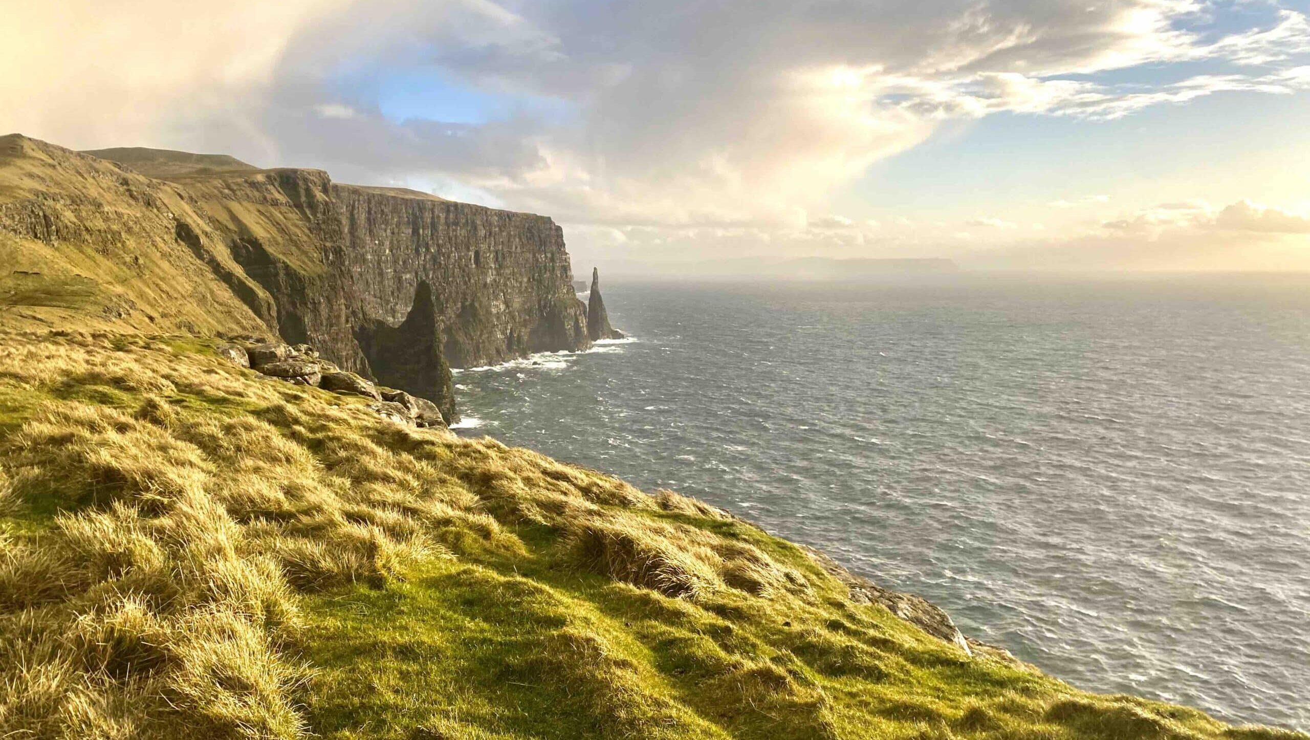
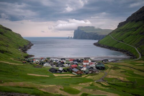
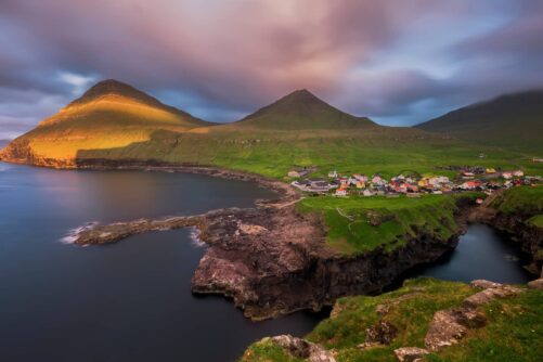
Particularly in clear weather, you will see the entire archipelago from this location. You will have a great view of the sea stacks, Risin & Kellingin when standing on the northern part of the summit.
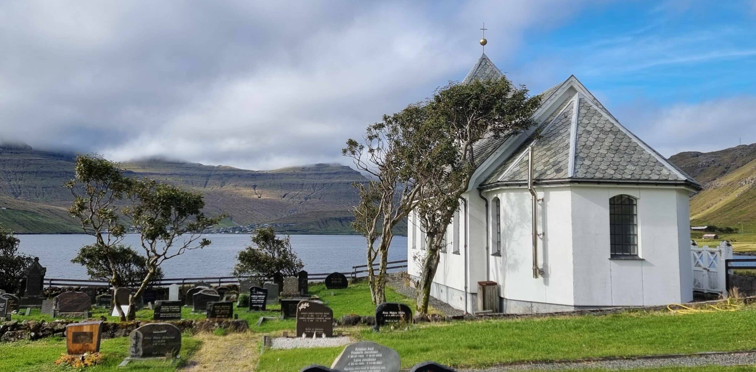
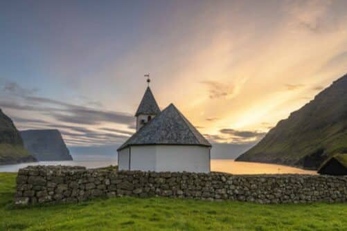
If you want to see Slættaratindur from a distance then head to Haldórsvík. This settlement on Streymoy Island will give you a good view of the entire mountain. You will also see the highest mountain in the Faroe Islands from the vantage point Hvíthamar.

Those who want to reach the highest peak without getting into uneven terrain can do so with a local mountaineer. Walk up hill with a tour guide to Slættaratindur.
The views you get are terrific. It will definitely add to the experiencing having a local guide by your side for safety and stories about the mountain and more.
More travel blogs

Popular tours
-
Vibrant 4 Hour Viðoy Island Tour
Tour startsTórshavnDuration4 hours -
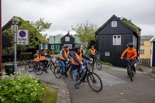
Tórshavn City E-bike Sigtseeing Tour
Tour startsTórshavnDuration2 hours -
Eat Local on Guided Day Tour
Tour startsTórshavnDuration7 hours -
Private Tour With Filmmaker as Guide
Tour startsTórshavnDuration5 hours -
Top-rated Faroe Islands Highlights Tour
Tour startsTórshavnDuration6 hours -
Spectacular 10 Hour Northern Islands Day Tour
Tour startsTórshavnDuration10 hours -
The Classic Faroe Islands Day Tour
Tour startsTórshavnDuration8 hours -
3 Waterfalls in 1 day | Múlafossur, Fossá & Saksun Waterfalls
Tour startsTórshavnDuration5 hours -

From Tórshavn: Sunset Sailboat Cruise
Tour startsTórshavnDuration4 hours -
Classic Drangarnir Sea Arch Boat Tour
Tour startsSørvágurDuration1 Hour -
Mykines Shuttle Boat
Tour startsSørvágurDuration4 hours -
Private Escorted Tour of main Faroe Islands
Tour startsStreymoy IslandDuration6 hours -
Best 7 Hour “All You Can See” Tour
Tour startsTórshavnDuration7 hours -
New Tour
Suðuroy Island | The Photography Tour
Tour startsTórshavnDuration9 hours -
Tranquil 4 Day Winter Trip of the Main Faroe Islands
Tour startsVágar AirportDuration4 days


Other interesting Attractions