


Eiði
Jump to chapter
Published: 02/06/2021
Reading time: 3 minutes
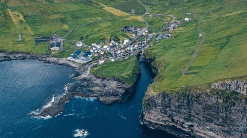
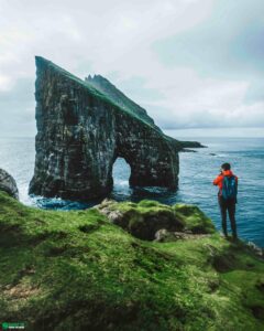
Eiði is a village on Eysturoy Island in the breathtakingly beautiful Faroe Islands. In this picturesque village you will find the famous football stadium nestled next to the Atlantic Ocean.
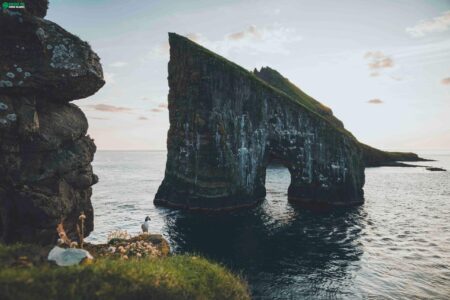
From near Eiði, you will also have a great look towards the two sea stacks Risin & Kellingin. These rock formations are also known as the Giant and his Wife.
There are a couple of lay-buys above the village from where you will have good views of the football stadium. The football pitch is now used as a campsite.
Just a short drive from Eiði, you will experience the freshwater Lake Eiðisvatn. The lake has a surface area at 0,5 square kilometres. Lake Eiðisvatn is one of the most beautiful lakes in the Faroe Islands.
Close to the Highest Summit

Eiði sits a short drive from Eiðisskarð, which is the trailhead to Slættaratindur, the highest mountain in the Faroe Islands. You will drive next to heather-clad plateau before you reach Eiðisskarð from the village.
The route to Eiðisskarð has no snow clearing. This makes the road inaccessible on snowy days during winter between November and March. Always check the weather forecast for Eiði before taking the mountainous road from Eiði towards the Eiðisskarð mountain pass.
Getting to Eiði

The most common way to get to Eiði is from the short bridge that links Streymoy Island to Eysturoy Island. Here you will take the route north.
As you enter the village, you will notice a long slope rising from the sound with the tremendous hill of Eiðiskollur at its back. There is a route to the top of the hill for those looking for an adventurous hike.
Services in Eiði

Eiði is one of the more populous settlements on Eysturoy Island. This will come in handy when visiting the place as you will have access to basic services without leaving the village.
- Grocery store: Yes
- Café: No
- Public toilet: Yes
- Parking lot: Yes
Take a look at guided activities starting in Eiði. A guided tour starting off from the village might be just what opens up layers of the culture and nature found nowhere but when a local guide is there with you.

More travel blogs
Popular tours
-
Mountainous 6 Hour Northern Islands Tour
Tour startsTórshavnDuration6 hours -

Kalsoy Island Evening Tour | Local Food Samples Included
Tour startsKlaksvíkDuration5 hours -

3 Day Summer Self-Drive | Sea Cliffs & Uncrowded Villages
Tour startsVágar AirportDuration3 days -
5 Day Winter Package | Tour the Faroe Islands
Tour startsVágar AirportDuration5 days -
Essential 6 Hour Highlights of Vágar Island
Tour startsTórshavnDuration6 hours -

Tórshavn Essential Harbour Round Trip
Tour startsTórshavnDuration1 Hour -
Private 4 Hour Sailboat Tour to Nólsoy Island
Tour startsTórshavnDuration4 hours -
Vágar Island | The Photography Tour
Tour startsTórshavnDuration7 hours -

Private Cruise Shore Excursion in Faroe Islands
Tour startsRunavík TórshavnDuration6 hours -
Incredible 3 Day Faroe Islands Highlights Package
Tour startsTórshavnDuration3 days -
Classic 4 Hour Northern Isles Tour
Tour startsKlaksvíkDuration4 hours -
Immersive 6 Hour Vestmanna Sea Cliffs & Viking Village Tour
Tour startsTórshavnDuration6 hours -
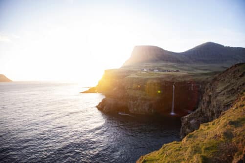
The 4 Day Photography Tour | Faroe Islands Highlights
Tour startsTórshavnDuration4 days -
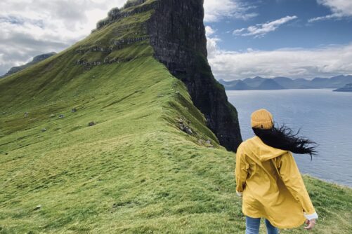
Kalsoy Island | The Photography Tour
Tour startsTórshavnDuration7 hours -

Spectacular 7 Hour Vágar Island Day Tour
Tour startsTórshavnDuration7 hours


Frequently asked questions
Where is Eiði?
Eiði sits on the northwest tip of Eysturoy Island, the second largest island in the Faroe Islands. It faces the Sundini Strait and the open North Atlantic, with the hill Eiðiskollur rising behind the village and the country's highest mountains to the east. The postcode is FO 470.
How do you pronounce Eiði?
In standard Faroese it is roughly "AI-yih". Locals in the north say it closer to "OY-yih
What does the name mean
Eiði means isthmus. The village spreads across the low, flat neck of land between the sea and Lake Eiðisvatn.
How many people live in Eiði?
Around 700 people call Eiði their home.
How do I get to Eiði by car?
From Tórshavn, drive north on Streymoy Island, cross the bridge over Sundini Strait to Eysturoy Island, and follow the coastal road north through Norðskáli, Svínáir and Ljósá. The drive takes around one hour. There are no tolls on this route unless you choose the route through the subsea tunnel Eysturoyartunnilin.
Is there parking in Eiði?
Yes. There is free public parking in the village, at the viewpoint for Risin & Kellingin just outside the village.
Is the road to Eiðisskarð Mountain Pass open all year?
No. The mountain road over Eiðisskarð Mountain Pass is not cleared of snow, so it can be impassable on snowy days, roughly from November to March. Check the weather and road conditions before you set off.
What is Eiði best known for?
Four things: its former football pitch on the edge of the Atlantic, the view of the sea stacks Risin & Kellingin, Eiðiskollur Cliff, the sheer 352 m (1154 feet) cliff behind the village with views over the sea stacks, and its position at the foot of Mount Slættaratindur, the highest mountain in the Faroe Islands.
Other interesting Attractions


