


Víkar
Jump to chapter
Published: 03/06/2021
Reading time: 4 minutes
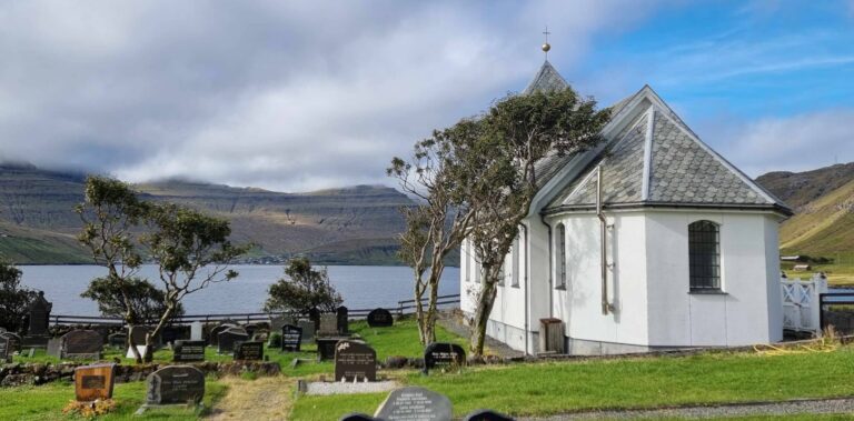
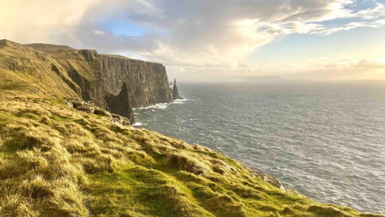
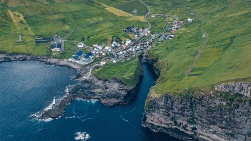
Víkar is an abandoned hamlet in the wild Faroe Islands. Located far away from nearby settlements on the airport island of Vágar, this place comes with incredible views and true remoteness.
Víkar was abandoned in 1914, just 77 years after it was founded by settlers that came to take advantage of the fertile soil in the valley. However, the villagers were always very isolated and this ultimately led to the abandonment. The nearest village is Gásadalur, which requires a 5 km (3.11 miles) hike over a steep mountain pass to reach. Many house ruins are still visible in the landscape, alongside three modern buildings; a shed and two shelters.

Hiking to Víkar
Getting to Víkar requires a long hike either from Vatnsoyrar or Gásadalur. The two routes can be combined for an epic full-day hike to and from Víkar.
Hike from Vatnsoyrar to Víkar
The easiest way to reach Víkar is from Vatnsoyrar. Walk through the main road of the village until you reach Lake Fjallavatn, the second-largest lake in the Faroe Islands.
Follow the trail along the lake’s northeastern shore. At the far end, you will encounter a river crossing that can be difficult after rainfall. You may need to remove your shoes and wade over.
Continue to the river Reipsá and follow it to where it plunges into a cleft, forming the mighty Reipsáfossur Waterfall.

After enjoying the waterfall, continue to the edge of the land for a view of a hidden black sand beach below the cliffs. The people of Víkar once collected driftwood here. Beyond the beach, you can see the abandoned village.
Many hikers return to Vatnsoyrar at this point, but you can continue to Víkar. Backtrack to where Reipsá meets the river Gullringsá. Cross the wide Reipsá River, removing your shoes if necessary, and follow the northeastern bank of Gullringsá until you reach a cairn-marked trail. Follow the trail past Lake Hvivltkinnavatn. After another 700 metres (2296 feet), leave the cairn trail and take the path to the right, which descends to Víkar.
This hike is of moderate difficulty. The first part along Lake Fjallavatn is fairly easy without much elevation gain, but the river crossings can be difficult and the hike down to Víkar is steep. The hike is 12 km (7.5 miles) and takes around 5 hours one way.

Hike from Gásadalur to Víkar
The most beautiful route to Víkar starts in the famous village of Gásadalur. Follow the dirt track to the end of the wide valley, then hike the well-trodden trail up to the mountain pass.
At the top, there are two trails marked by cairns. Take the trail to the left, which leads down to Víkar. Carefully descend the steep, rocky slope and aim for the grassy sections where possible. Use the rocky gorge to get past the steepest part of the cliff. Once you reach the bottom, continue across flat ground to Víkar.
After exploring the abandoned village, cross the river Stórá that runs through the village and hike up the cliff, keeping the river to your right. There is a trail but it is not well marked. Once at the top, you will meet the cairn trail between Gásadalur and the abandoned village of Slættanes. Take a right turn and follow the cairn trail back up to the mountain pass. Then descend along your original route to Gásadalur.
This hike is challenging and is only suitable for experienced hikers. The descent into Víkar and the climb out involve steep, exposed terrain, loose rocks and scrambling. The route is 12 km (7.5 miles) and takes around 6 hours return.


More travel blogs

Popular tours
-
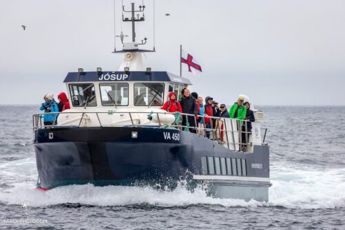
Puffin Boat to Mykines Island
Tour startsSørvágurDuration45 minutes -

Refreshing 6 Day Summer Package of the Faroe Islands
Tour startsTórshavnDuration6 days -

Eysturoy Island | The Photography Tour
Tour startsTórshavnDuration7 hours -
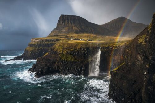
The Pick Me Up Tour | Faroe Islands
Tour startsDuration4 hours -
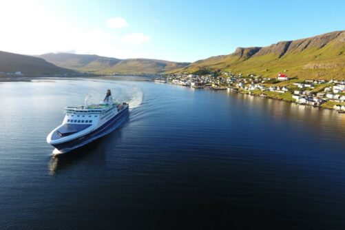
Spectacular 12 Hour Suðuroy Island Day Tour
Tour startsTórshavnDuration12 hours -

Stunning Hvannhagi Hike on Suðuroy Island
Tour startsTórshavnDuration12 hours -
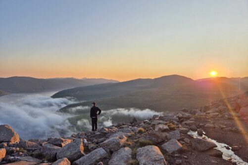
Epic 8 Day Summer Self Drive Tour of Faroe Islands
Tour startsVágar AirportDuration8 days -
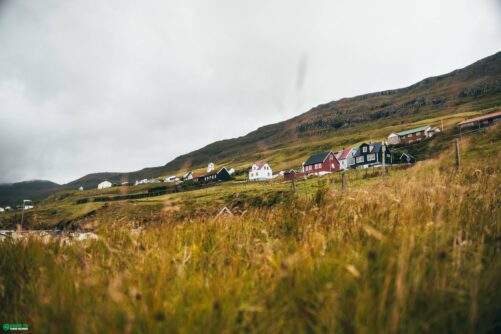
Half-Day Tour on Suðuroy Island
Tour startsSuðuroy IslandDuration4 hours -

Inspiring 6 Hour ‘Lake Above The Ocean’ Tour
Tour startsTórshavnDuration6 hours -
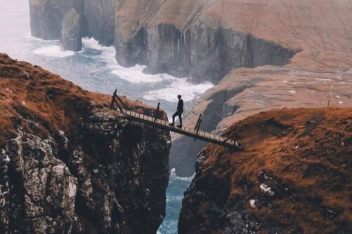
Thrilling 4 Hour Ásmundarstakkur & Rituskor Tour
Tour startsHvalbaDuration4 hours -
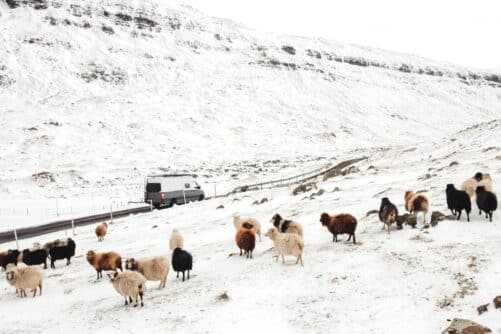
Tranquil 4 Day Winter Trip of the Main Faroe Islands
Tour startsVágar AirportDuration4 days -
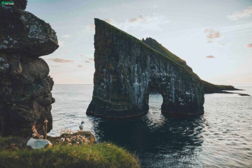
Classic Drangarnir Sea Arch Boat Tour
Tour startsSørvágurDuration1 Hour -

Spectacular 7 Hour Vágar Island Day Tour
Tour startsTórshavnDuration7 hours -
Unbelievable 6 Hour ‘Lake Above the Ocean’ Tour
Tour startsTórshavnDuration6 hours -
Private Escorted Tour of main Faroe Islands
Tour startsStreymoy IslandDuration6 hours


Other interesting Attractions